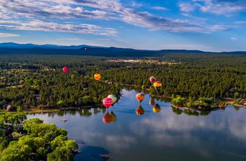
The circular mountain basin that Springerville shares with its sister city, Eager, is known as Round Valley. Basque settlers picked the name Valle Redondo in the late 1800s, and it stuck. Henry Springer operated a trading post that became the centerpiece of a town that eventually took his name. Today, the remote Round Valley is a favorite mountain getaway for desert dwellers to escape the heat during summer and play in the snow in winter.
Fresh Air Everywhere
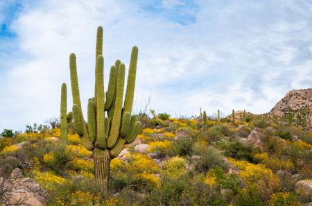
With Lyman Lake State Park to the north and Apache-Sitgreaves National Forest to the south, nature leaves the welcome mat out year-round in this high-elevation playground. Head 7 miles west of town to hike the Grasslands Wildlife Trail, a 2.5-mile loop that passes volcanic cinder cones and vents. Or head just east of town to the Murray Basin Trailhead for longer, high-elevation hikes. Flat Top is a popular trail that crests the top of a mesa and features views of New Mexico to the east and the enormous volcanic field that stretches west all the way to Show Low. Look to the southwest on a clear day and see Arizona’s second-highest peak, Mt. Baldy, which looms in the distance at more than 11,000 feet.
History Lives Here
Find remnants of Springerville’s origin stories at an excellent museum that anchors historic Main Street. Located inside the town’s original school, the Springerville Heritage Center displays collections of European art and antiques, photos and household items that chronicle pioneer life, plus themed rooms including a blacksmith shop and a jail cell. Visitors can also see Casa Malpais, the remains of an ancient pueblo village that was inhabited by Hopi and Zuni ancestors. Visitors can see the ruins on guided tours only, which start at the Heritage Center. The 2-hour tour includes a short but strenuous hike on steep, loose-rock trails.
All Roads Lead to Springerville
Remote outposts in Arizona have one thing in common: getting there reveals diverse, untouched landscapes that make Arizona one of the prettiest places on the planet. Approaching Springerville, see crimson sandstone buttes and sweeping grasslands up north and dense pine forests and high-desert landscapes to the south. From points north and south, enjoy the drive on Highway 191 — Arizona’s longest highway that stretches more than 500 miles from Mexico to Utah. Visitors originating from Central Arizona can reach mountain towns along the Mogollon Rim via highways 60 and 87. Highway 60 climbs through Salt River Canyon — Arizona’s “other Grand Canyon” — while Highway 87 cuts through an old-growth pine forest. Stay in the slow lane to soak in the scenery.
Visit Website