Arizona Trail

Picket Post

The Arizona National Scenic Trail—known as the “AZT”—traverses the entire state. But you don’t have to tackle all 800 miles at once. This day hike east of Phoenix gives a great sampler of the beautiful Saguaro-studded desert and mountainous terrain on the AZT.

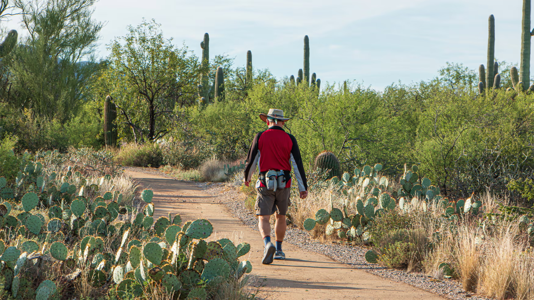
The AZT south from Picketpost Trailhead goes through classic Sonoran Desert – towering Saguaro cacti, rugged mountain views and the possibility of seeing a spectacular sunset or some spring wildflowers. The trail is a gentle uphill grade, weaving in and out of the drainages that descend from Picketpost Mountain.

On the Trail

A metal Arizona Trail sign with a map greets you at the Picketpost Trailhead (2,392’), sign in at the register. In 150 feet, the trail curves and reaches a cairn (a big stack of rocks) and a creek crossing. Descend and cross the wash, heading west, then curve to the right and cross another 2 washes before exiting out the other side. A wash is a creek bed that only runs with water seasonally or temporarily after rains.

The trail curves to the right (south) and ascends past lichen-coated rock formations. At 0.2 miles, reach a junction with the Arnett Canyon Trail coming in from the left (east). The Arnett Canyon Trail is part of the Legends of Superior Trails (LOST) and is the first Gateway Community Trail built to connect to the AZT. The AZT crosses two small canyons with the main Alamo Canyon to your right (west).

Picketpost Mountain is an eroded volcanic vent topped with a lava flow that is approximately 18 million years old. Much of the exposed rock is consolidated ash, called volcanic tuff, and you might also see some quartz. The Superstition Mountains are visible to the north, and Weavers Needle is the spire to the left (west). This hike is great for seeing many varieties of wildflowers in the spring as well as cactus blossoms. In a particularly good year, I’ve seen yellow brittlebush and orange poppies cover the hillsides.

Cross another small wash and the trail climbs to a signed intersection for Picketpost Summit Trail in 0.3 miles, which is a wide trail coming from the left (east). The Arizona Trail continues south and climbs at a gentle grade. In 0.3 miles, the trail curves into a larger side canyon with great views. Descend to cross the canyon and climb out the other side.

At 1.0 mile the trail goes into another side canyon, which is more open and flatter than previous ones. The trail meanders south and goes through some boulders. Make a turn to the left in 0.2 miles, and there is a perfect saguaro and boulders to frame it with Picketpost behind it, a great opportunity for a photo. Curve right pass a large yellow boulder to cross another drainage, then a ridge and continue climbing. In 0.4 miles, the AZT makes a turn to the right to trend south.

There is a nice spot with some small rocks to sit on and an excellent view of the Superstition Mountains to the north and Picketpost to the east (2647’) in 0.3 miles. This is a fantastic place to turn around if you want to do a hike that is 3.6 miles round-trip with 400 feet of total elevation gain.

From the sitting rocks, the trail curves to cross several small drainages and in 0.4 miles, descends to briefly parallel Alamo Canyon on the left (east) side, then leaves the wash and ascends. The terrain opens up a bit, crosses a ravine and stays above the small tributary to your right (west). In 0.2 miles, cross another ravine.

*At 2.5 miles, reach Alamo Canyon wash again. Do not cross this wash straight ahead. The crossing is to your left across the small tributary coming in from the left that feeds Into Alamo Canyon.

In 0.2 miles, turn left to cross the head of the ravine and climb, then curve right. The AZT stays above the right side of the canyon to the east. The trail dips to cross a brown sandy wash and then switchbacks to the left to climb out, now trending west.

At mile 3.0, cross a wash, then join it briefly and exit the right side again, then cross the wash to the left side. The trail climbs and switchbacks in 0.1 mile, then crosses a couple drainages. The trail is once again out in the open and crosses a ravine in 0.25 miles. It parallels the drainage and then crosses it in 0.2 miles.

*The trail climbs and at a curve to the right, reach a junction for a hiking and equestrian route that goes into Telegraph Canyon and around Picketpost to your left. Stay on the AZT as it curves to the right (south) at the switchback.

Shortly after, you will see a brown sign confirming that you are on the AZT. The trail goes through several clearings, then climbs toward a small saddle, a low point between two hills. The cliffs of the Apache Leap are visible to the left (east). This area is the ancestral lands of the Apache and the San Carlos Apache Reservation is located to the east.

Switch back to the right and arrive at the saddle, which has a steep hill to the right and a small hill to the left. You can see a stately Saguaro looking into a wide valley with a large rounded hill to the left, a rocky topped hill in the middle and a rounded peak to your right across the valley.

Take a left and pick your way through the cactus to climb the small hill to the east for the best view. There is lots of quartz on top of the hill as well. Unfortunately, there is not much in the way of rocks to sit on. Ending elevation 2942 feet, 3.6 miles. Afterward, check out the Gateway Community of Superior and get your photo with the Welcome to Superior mural on Main Street, then head to Porter’s Café for a burger and a beer on their patio. It’s a great location to end a memorable hike on the AZT.

For more information on the 800-mile Arizona National Scenic Trail, visit aztrail.org

If you go

Trailhead: Picketpost Trailhead – All Vehicles – graded dirt road
GPS coordinates:
N33° 16.317' W111° 10.577'
'Arizona Trail Passage: #17 – Alamo Canyon
Trailhead Elevation:
2,392 feet
Round-trip length:
7.2 miles
Elevation gain/loss:
900/400 feet
Difficulty:
Moderate
Short version:
3.6 miles/400 feet gain/Easy
Season:
Winter, Spring, Fall
Why go:
Views of Picketpost and Superstition Mountains, Sonoran Desert vegetation, Wildflowers
Nearest Gateway Communities:
Superior (6 miles)
Post-hike meal:
Burger and a beer on the Porter’s Café patio. (404 W. Main Street, 11 am – 8 pm) 520-689-5003

Author

Sirena Rana Dufault is the author of the forthcoming book, “Day Hikes on the Arizona National Scenic Trail,” which will be published by Wilderness Press. For more information, visit trailsinspire.com.

Discover

Cities & Regions

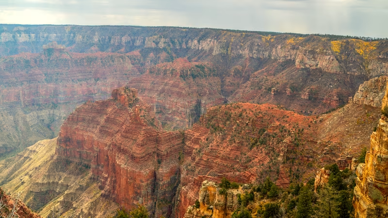
From the abundance of Saguaro cactuses and unique wildlife in the Sonoran Desert to the high country and forests of the White Mountains to the breathtaking Grand Canyon, Arizona’s regions are full of experiences that don’t disappoint.